Big chill to continue across south-eastern Australia as outback towns plunge to record lows | Australia weather

Nippy weather was expected to continue across south-eastern Australia, after a cooler than usual start to June and record-setting cold in some outback towns.
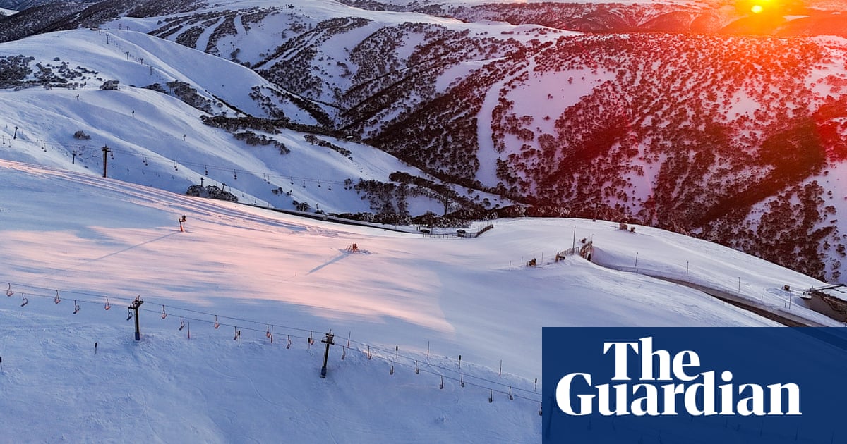
Cooler temperatures, gusty winds, showers and alpine snow were forecast for the south-east into Tuesday, according to the Bureau of Meteorology climatologist Qian Zhou, with alpine snow expected in Victoria, Tasmania, and south-eastern New South Wales. Rainfall was expected for south-west Western Australia from Tuesday.
But conditions were unlikely to be as chilly as last week, Zhou said, given the second week of June had reached minimum temperatures more than 2C below average across most of the country, and up to 10C below average in parts.
Forecasts for the capitals on Tuesday included Canberra with a minimum of 0C and high of 12C, and Hobart with a minimum of 5C and maximum of 13C.
From a minimum of 8C, Sydney would hit a sunny 18C. A top of 14 was forecast for Melbourne, with a minimum 9C. Adelaide could expect a minimum of 10C and maximum 16C.
Brisbane would be cloudy with a minimum of 12C and maximum of 21C. And the bureau said there would be showers in Perth, with a minimum 10C and maximum 21C.
Sign up to get climate and environment editor Adam Morton’s Clear Air column as a free newsletter
Central Queensland experienced a “particularly cold day” on Thursday, with minimum temperatures up to 12C below average, Zhou said. Clear skies during the night allowed more heat to be released from the surface, along with consistent southerly winds bringing the colder air from the south.
Winton airport recorded 0C on 12 June, she said, which was the lowest June temperature on record for the outback Queensland town. The town’s previous coldest June temperature was 0.4C on 23 June 2019.
On the same day, the station at Gayndah airport – 320km north-west of Brisbane – recorded -1.1C, eclipsing its previous record of 0C on 22 June 2004.
Mount Isa minimums were sitting at 5C below average for June so far, the mining town’s coolest on record, according to the bureau.
Ski fields were pleased with conditions being cold enough for snow.
Most received about 50 to 70cm of snowfall over the King’s Birthday long weekend, according to Weatherzone. A further 10 to 15cm was expected this week by late Tuesday or early Wednesday.
after newsletter promotion
“It’s been a dream start,” said Lani Banerjee, the environment manager for Vail Resorts Australia, which manages Perisher in NSW and Falls Creek and Mount Hotham in Victoria.
“We couldn’t be happier with the start we’ve had … which kicked off with an early-season snowstorm and very cold temperatures ideal for snowmaking,” she said. So far, 65cm of natural snow had fallen at Perisher, 77cm at Hotham and 78cm at Falls Creek.
“We now have a solid base, and our guests have been having the time of their lives out on the slopes.”
Mount Buller in Victoria had recorded 37cm of snow so far, with a good chance of more falling on Tuesday, a spokesperson said, before clearing conditions midweek that meant “blue sky ski days into the weekend”.
“Mount Buller has been recording snowfall and depths consistently for over 45 years and conditions are currently tracking strongly for early winter – in our top 10 of seasons to date.”
Despite the wintry and cold conditions in the south-east, the bureau’s long range forecast still anticipated above average maximum and minimum temperatures for much of the country in June to September, Zhou said. “That doesn’t mean every day will be warmer than average, we can still get some cold periods.”
Australia, on average, has warmed up by 1.51C since national records began in 1910.
Source link


