Hurricane Helene heads to Florida as one of the US’s most powerful storms this year | Hurricanes

A storm barreling towards Florida’s Gulf Coast is now expected to be a catastrophic category 4 strength hurricane, according to the National Hurricane Center, making it one of the most powerful storms to hit the US this year.
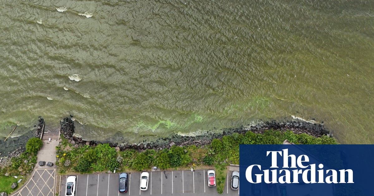
Much of Hurricane Helene’s gathering strength comes from the waters of the Gulf of Mexico, which have reached unprecedented high temperatures in recent years. In general, the ocean waters around Florida have also seen rising temperatures in recent years, making the state more susceptible to catastrophic storms.
Hurricane Helene is expected to reach Florida’s coast late Thursday evening or early Friday morning, the center said in its latest advisory.
Early Thursday, the storm’s maximum sustained winds were near 100 mph (155 km) with higher gusts. Hurricane-force winds extend as much as 60 miles (95 km) outward from the center of the storm. Additional strengthening is forecasted before it makes landfall.
Life-threatening storm surges are expected on the coast, reaching as much as 20ft in some area of the Florida panhandle.
Much of the state is under a state of emergency. Though the storm is expected to weaken once it makes landfall, the storm is moving fast and could spread up to 400 miles.
“A catastrophic and deadly storm surge is likely along portions of the Florida Big Bend coast, where inundation could reach as high as 20ft above ground level, along with destructive waves,” the National Weather Service warned Wednesday evening. “Preparations to protect life and property should be completed by early Thursday before tropical storm conditions arrive.”
The hurricane is expected to travel up the south-eastern coast once it makes landfall, moving from Florida up to North Carolina. Georgia, South Carolina and North Carolina have been put under emergency declaration. At least 50m people are under hurricane and tropical storm warnings. School districts along Florida’s Gulf coast and in Georgia, including in Atlanta, will be closed on Thursday in anticipation of the hurricane’s arrival.
Joe Biden declared a state of emergency on Tuesday, ordering federal assistance to Florida. Mandatory evacuations in the state started to go in place earlier this week.
Florida governor Ron DeSantis warned residents across the state of the impending damage the storm is expected to deliver.
“It’s not a matter of whether we’re going to get effects, it’s just a question of how significant those effects will be,” DeSantis said.
Officials in Tallahassee, the state’s capital, said the storm could be the worst in the city’s history.
“If our community remains central in Helene’s path, as forecasted, we will see unprecedented damage like nothing we have ever experienced before as a community,” Tallahassee mayor John Dalley said at a news conference Wednesday.
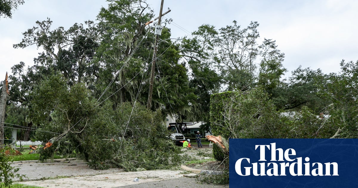
Early Thursday, the National Weather Service said the impacts of the storm will depend on its track, though widespread power outages, damage to infrastructure, including powerlines, blocked roads and damage to structures are all possible.
“Power outages will likely last days, if not weeks, near where it makes landfall,” the National Weather Service said Thursday.
The hurricane will be the fourth hurricane to make landfall in the US this year. This is the second major hurricane to hit the state this year. In August, Hurricane Debby, a category 1 storm, brought power outages and flooding to the northwestern part of the state.
Source link


