California: second atmospheric river storm threatens to deluge south of state | California
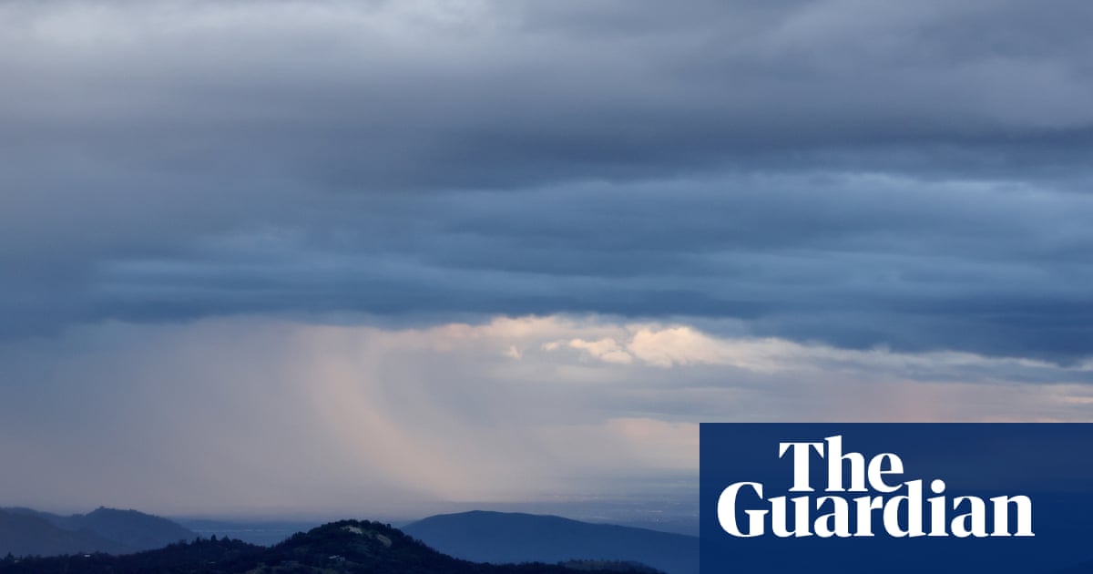

A second atmospheric river-fueled storm is lashing California, threatening significant flooding in the south of the state.
The deluge comes as communities across the state were still reeling from last week’s storm, which unleashed torrents and thunderstorms on Wednesday and Thursday and tested the capacity of infrastructure.
Meteorologists warned the new system would bring significant rainfall to cities including Los Angeles and Santa Barbara on Sunday and Monday.
The National Weather Service in Los Angeles warned part of the state could see “life-threatening” flooding and rainfall, heavy mountain snow and whiteouts, as well as damaging winds and high surf.
With the grounds saturated from the first storm, the NWS warned that dangerous flash flooding would occur more quickly. “Everyone, especially those near or in south facing mountains, needs to start preparing now for possible evacuations during or even before the storm hits,” the NWS said Thursday.
California could have several more wet weeks ahead, said climate scientist Daniel Swain during a discussion of the system posted on YouTube Friday. During strong El Niño years the wet season typically peaks between February and March, he noted. “There are at least 6-7 more weeks of potential [for storms] and I would not be surprised if there was another major storm cycle at some point in that window.”
El Niño, a climate pattern associated with increased ocean temperatures in the tropical Pacific, can supercharge atmospheric rivers like the ones now creating strong storms over California with vapor that evaporates off the warmer surface waters. While there can be variability, El Niño typically delivers hotter, wet winters in California and other parts of the US south-west.
Quick Guide
What is an atmospheric river? And other weather terms explained
Show
What is an atmospheric river? And other weather terms explained
Here’s a short breakdown of the different kinds of storms that have lashed the west coast of North America this winter.
Atmospheric river
The National Oceanic and Atmospheric Administration refers to these as “rivers in the sky” for good reason. Characterized by long streams of moisture in the atmosphere, the average atmospheric river carries an amount of water vapor that rivals the flow at the mouth of the mighty Mississippi River – and strong ones can hold up to 15 times that amount. That moisture is released as rain or snow when ARs make landfall and typically are accompanied by strong, gusty winds adding to their destructive tendencies.
Pineapple express
These particularly strong atmospheric rivers are named for their origin. Pulling moisture from the Pacific around Hawaii, Pineapple Express storms have been known to unleash torrents of precipitation when they reach the west coast of the US and Canada – and have dumped roughly 5in of rain on California in a single day, according to the National Ocean Service.
Bomb cyclone
These low-pressure storm systems help create atmospheric rivers, pushing them from the Pacific to the coast. Unlike hurricanes or other storms where the center is the strongest, bomb cyclones can generate the worst weather at their edges.
El Niño
This is a climate pattern characterized by unusually warm surface ocean temperatures in the tropical Pacific. Along with its counterpart La Niña – which, in turn, refers to a period of colder-than-average sea surface temperatures – these patterns can impact weather around the world. While the weather doesn’t always align, El Niño is associated with warmer temperatures, and generally delivers drier conditions in the northern US and Canada, and wetter ones – bringing increased flood risks – through the south.
– Gabrielle Canon, US climate and extreme weather correspondent
Precipitation can be a welcome sight in California, a state that spent years navigating devastating drought conditions, but timing and temperature play a big role in determining whether a storm helps or hurts. Atmospheric rivers are responsible for up to 85% of floods and destructive rains along the US west coast, but also provide up to 60% of the region’s water supply.
after newsletter promotion
This year, California has gotten far more rain than snow, making a boost in water resources more difficult to capture. The snowpack, which acts as a water savings account of sorts, trickling into reservoirs, rivers and soils as it melts during drier months, stood at just 52% of average measured during the second monthly survey. Water managers are hopeful these systems will help coat the Sierra Nevada range in another thick layer.
Meanwhile, California reservoirs already stood at 115% of average going into this system, according to the California department of water resources, and in northern and southern California, rivers were already observed above flood stage. With weeks left to go in California’s wet season, and exceedingly wet conditions still in the forecast, several regions across the state had already exceeded or were nearing average precipitation levels.
Scientists have warned that this is a taste of what’s to come as the world warms, when wetter conditions with smaller snowpacks are expected to become the norm. “This tells us something about what California winters may look like increasingly in a warmer climate,” Swain said, noting that it’s both an El Niño story and a climate crisis story.
Source link

